The Soldier's Summit Trail
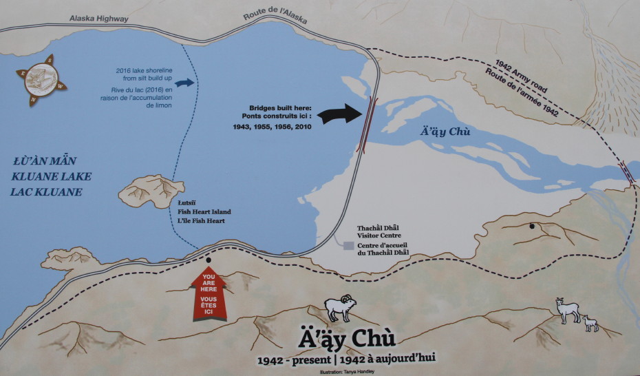
In 2017, an interpretive sign was installed to show the lower Kluane Lake levels and larger Slims River Flats that occurred as as a result of the re-routing of the Slims River.
This photograph is © 2017 by Murray Lundberg, and is not to be copied without express permission.