
Alaska Highway Photo Gallery
A Guide to the Alaska Highway ("Alcan")
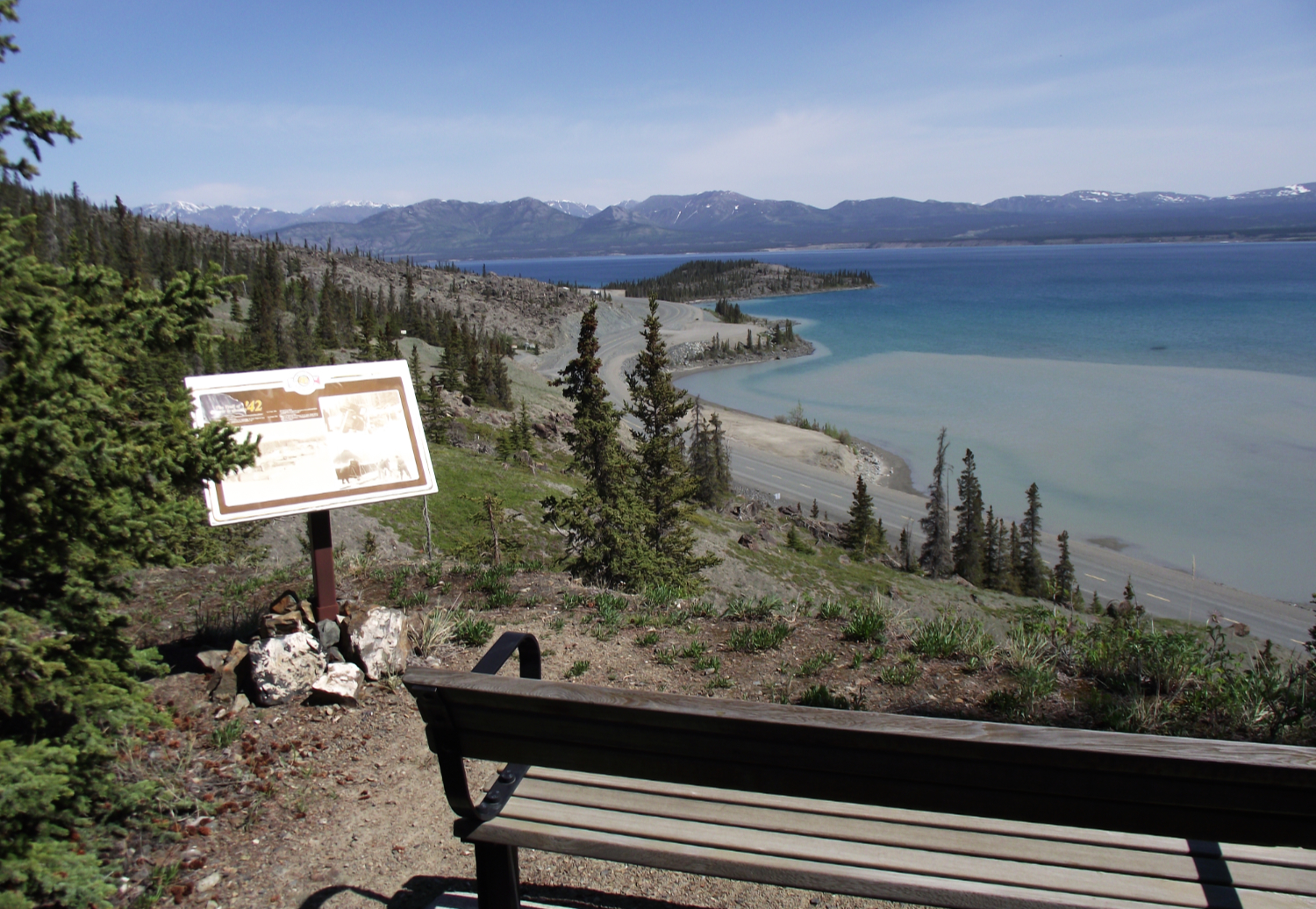
Just west of the Tachal Dhal (Sheep Mountain) Interpretive Centre, at Km 1650.8, the Soldiers' Summit Trail takes you up the original tote road to the spot where the road was opened on November 20, 1942. This is the view from the trail, over Kluane Lake to the Ruby Range of mountains, with one of several interpretive signs explaining the construction. The Alaska Highway can be seen below, winding around the granite cliffs along the lake shore.
This photograph is © 2011-2023 by Murray Lundberg, and is not to be copied without express permission.
|
.
|