
|





|
|
The Alaska Highway, Dawson Creek to Whitehorse,
June 1966
Skip Larsen 1966 Travelogue
A Guide to the Alaska Highway ("Alcan")
Dateline: July 6, 2024.
The photos of the Alaska Highway below were shot on Kodachrome slide film by Skip Larsen during a 6-week trip through the Yukon Territory and Alaska in 1966 - see the link above for more information about that trip and many more photos from it.
We have posted 27 of the 64 photos in this part of the collection.
Click on each image to greatly enlarge it.
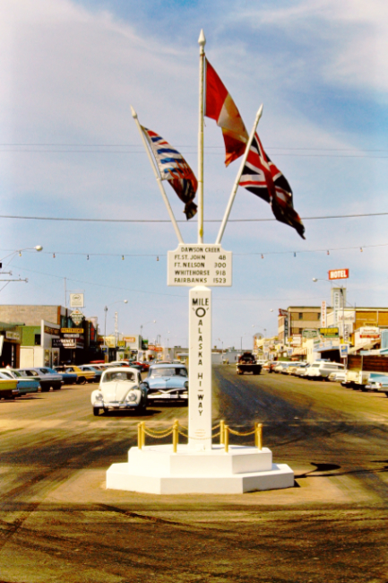
Mile 0, the start of the Alaska Highway, at Dawson Creek, British Columbia. This monument, though, was installed to bring people into the heart of the business district, not for historical accuracy.
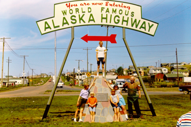
This monument is the actual start of the Alaska Highway.
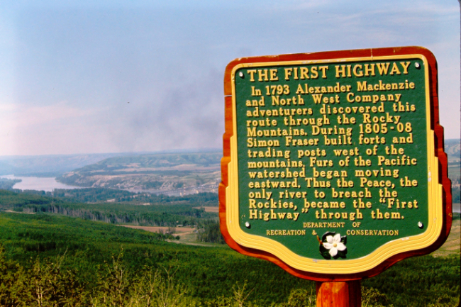
This Stop of Interest sign was installed 32 miles north of Dawson Creek in 1958 at the top of a steep and long hill that drops the highway down to the Peace River:
"THE FIRST HIGHWAY
In 1793 Alexander Mackenzie and North West Company adventurers discovered this route through the Rocky Mountains. During 1805-08 Simon Fraser built forts and trading posts west of the mountains. Furs of the Pacific watershed began moving eastward. Thus the Peace, the only river to breach the Rockies, became the 'First Highway' through them."
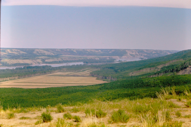
A view of the Peace River from the sign above.
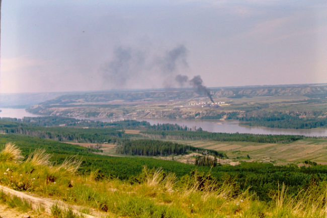
The community of Taylor, seen from the sign above. The smoke is coming from a large natural gas processing plant.
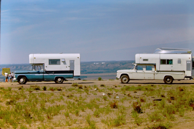
At that pullout above, before reaching the gravel section of the Alaska Highway just beyond Fort St. John, the drivers' side and rear windows of the campers were taped/papered over to prevent them being broken by flying rocks.
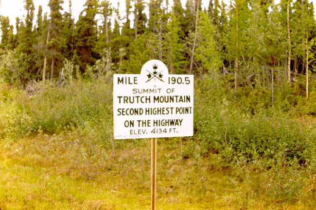
The 30-mile-long section of highway that climbed to the summit of Trutch Mountain at Mile 190.5 and dropped back down was one of the most notorious on the highway. It was finally bypassed in 1987.
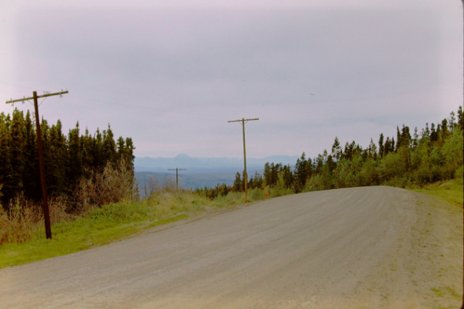
Starting the descent from Trutch Summit.
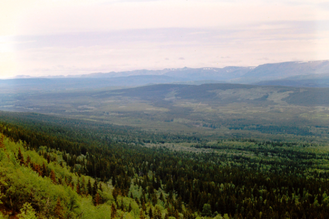
The Minaker Valley as seen from Trutch Summit.
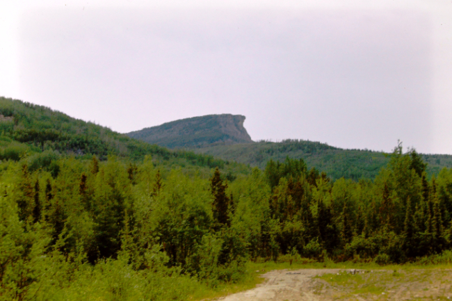
Indian Head Mountain is seen just north of Steamboat Mountain Summit at about Mile 355.
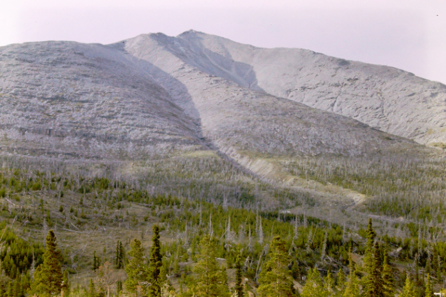
The barren mountains along Muncho Lake are unique along the highway.
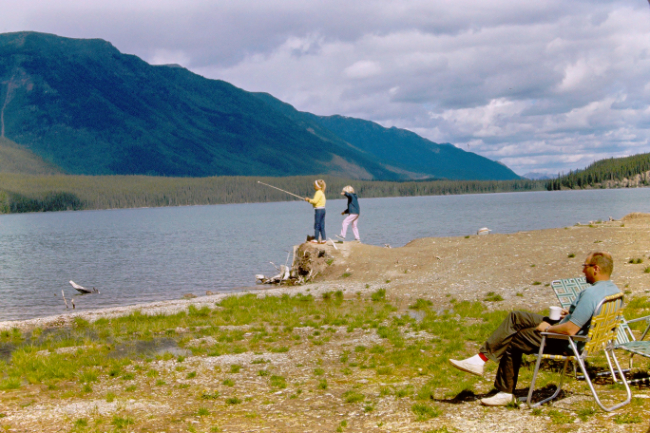
Muncho Lake, reached at Mile 457, provided good fishing...
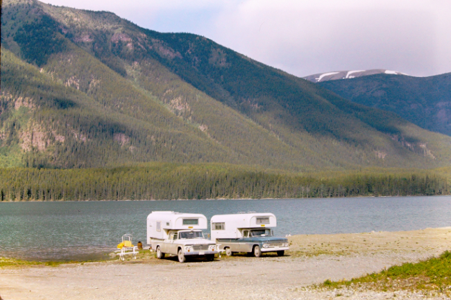
...and was probably an overnight stop.
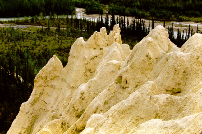
A short hike from about Mile 472 on what is now called the Salt Lick Trail takes you to these hoodoos. The rock flour (rocks ground into powder by glaciers) found along the Trout River contains calcium, magnesium, sulphur, phosphorus, and sodium, so moose, Stone sheep, caribou and other animals come here to lick the soil to get those important nutritional supplements.
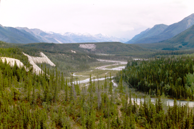
The view over the Trout River, looking south towards Muncho Lake.
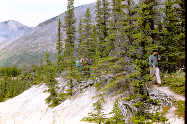
Hiking back to the trucks on the Salt Lick Trail.
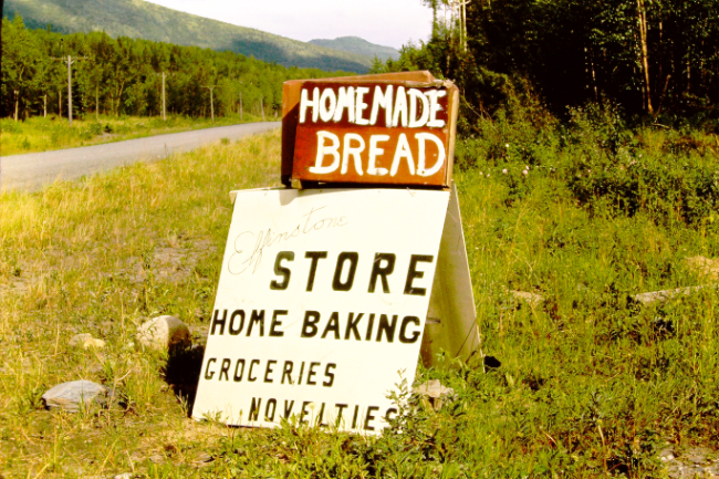
The Elfinstone store and coffee bar was located at Mile 502.5, where a 1945 Road Log notes there was an "Old camp on L.".
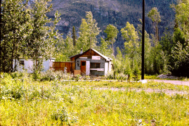
The sign at the base of the pole on the right is a note to campers.
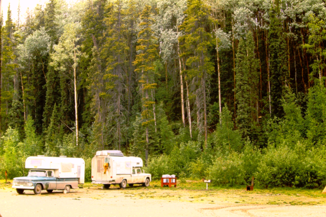
They appear to have camped at Elfinstone overnight.
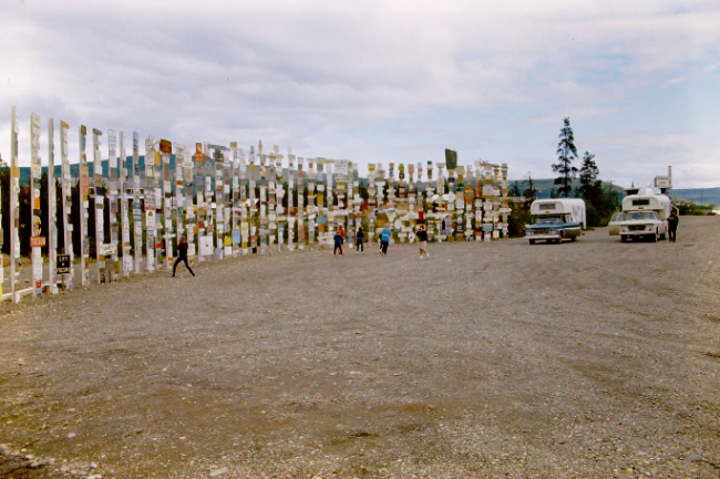
The collection of signposts at Watson Lake was growing nicely.
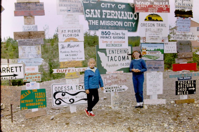
They found a sign for Tacoma; they lived in Parkland, a suburb of that city.
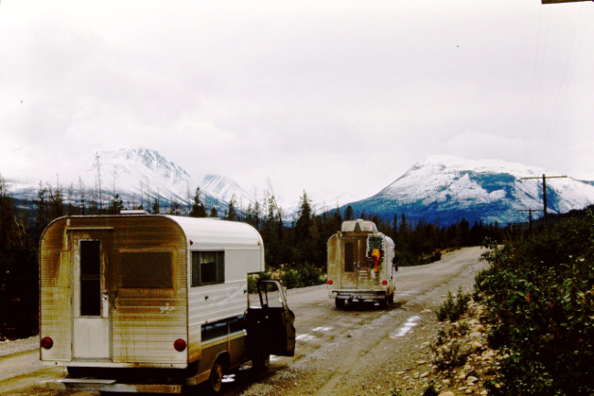
Waking up to a dusting of snow in mid-June was probably a shock.
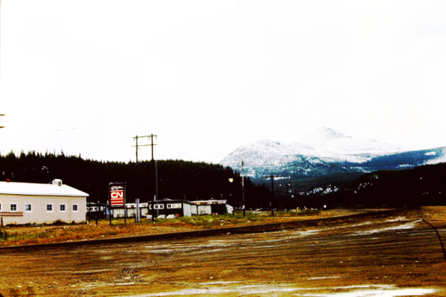
Swift River at Mile 733. Note the "CN" sign to the left - Canadian National Telecommunications took over the communications system along the Alaska Highway when the US Army left. It became NWTel.
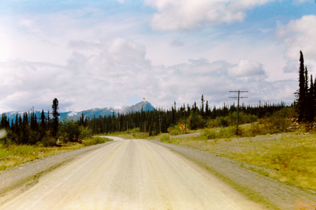
The view ahead at about Mile 855.
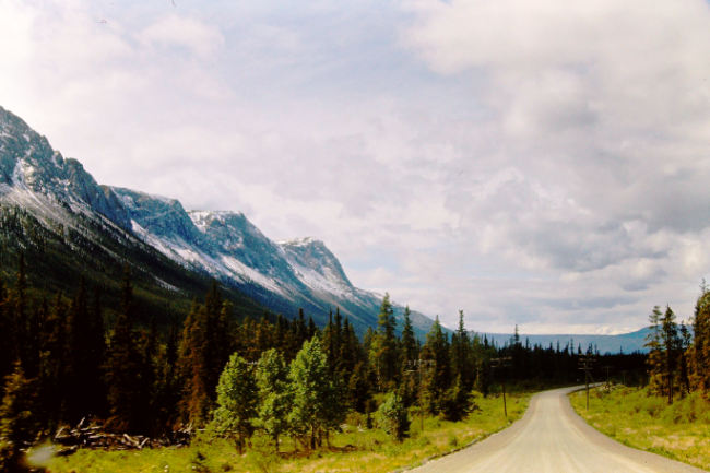
The furthest of the peaks is White Mountain, and below it is Jake's Corner, at Mile 866.
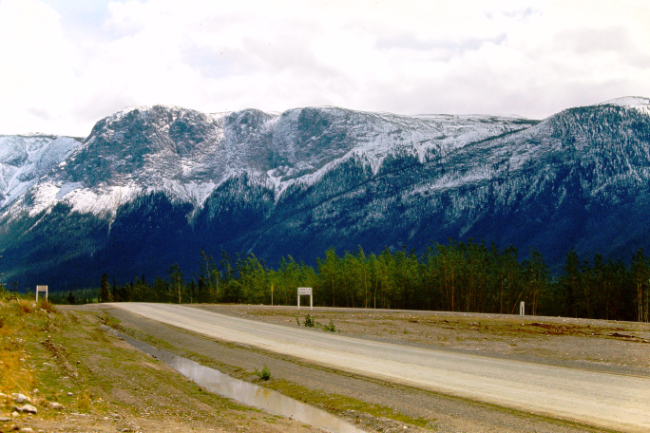
Looking back at White Mountain and the side road to Atlin, Tagish, and Carcross.
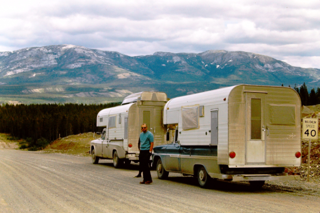
Starting down the south access road to downtown Whitehorse, at Mile 914.
|

|
