
|





|
|
The Alaska Highway, Whitehorse to Fairbanks,
June 1966
Skip Larsen 1966 Travelogue
A Guide to the Alaska Highway ("Alcan")
Dateline: July 7, 2024.
The photos of the Alaska Highway below were shot on Kodachrome slide film by Skip Larsen during a 6-week trip through the Yukon Territory and Alaska in 1966 - see the link above for more information about that trip and many more photos from it.
We have posted 30 of the 63 photos in this part of the collection.
Click on each image to greatly enlarge it.
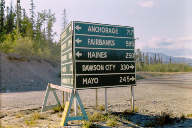
This directional sign was at Mile 925 of the Alaska Highway, at the junction of what was then called the Whitehorse-Mayo Highway, or just the Mayo Road. It is now the North Klondike Highway.
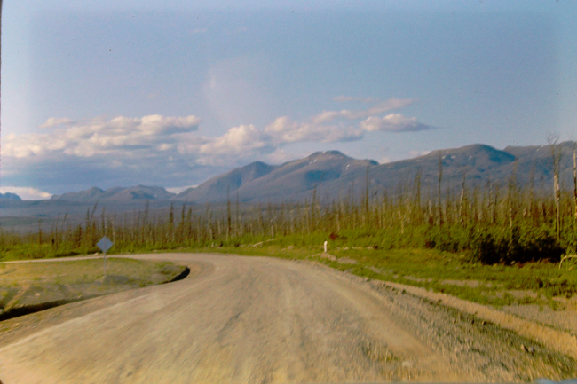
The Alaska Highway west of Whitehorse.
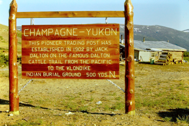
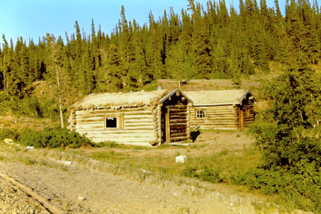
At Mile 974 they stopped for a few photos of the village of Champagne.
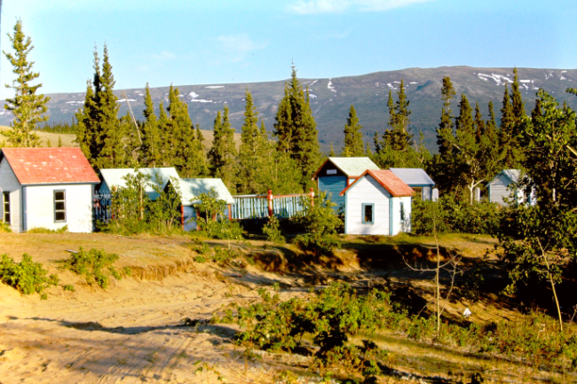
The "Indian Graveyard" was a tourist attraction promoted by highway signs (pointing to Mile 974.8) and government brochures. Today, visitors are not welcome.
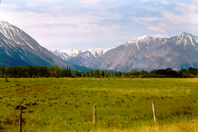
The federal Department of Agriculture's 1,180-acre Experimental Farm was at Mile 1019, 3 miles west of Haines Junction. About 200 acres were cultivated in various ways as seen here.
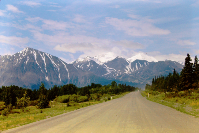
The view west about at Mile 1020.
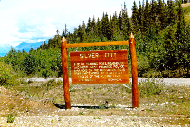
The ghost town of Silver City or Kluane was at Mile 1053. This interpretive sign looks like it had just been installed.
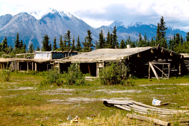
This part of Silver City was last used as a fox farm in the 1920s.
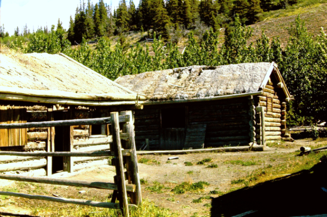
Downtown Silver City.

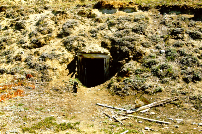
There was no mining right at Silver City, so this would have been a food cache/cooler.
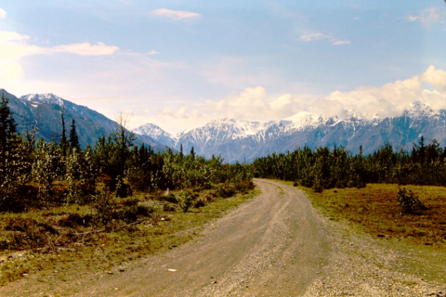
This may have been the side road to Silver City.
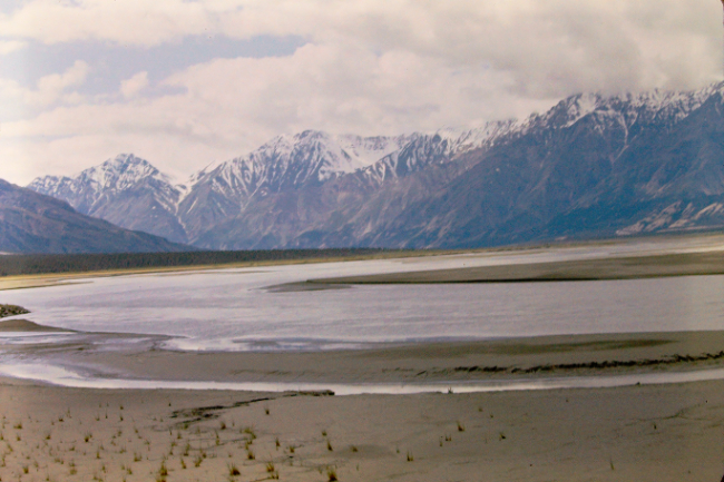
Crossing the Slims River at the head of Kluane Lake.
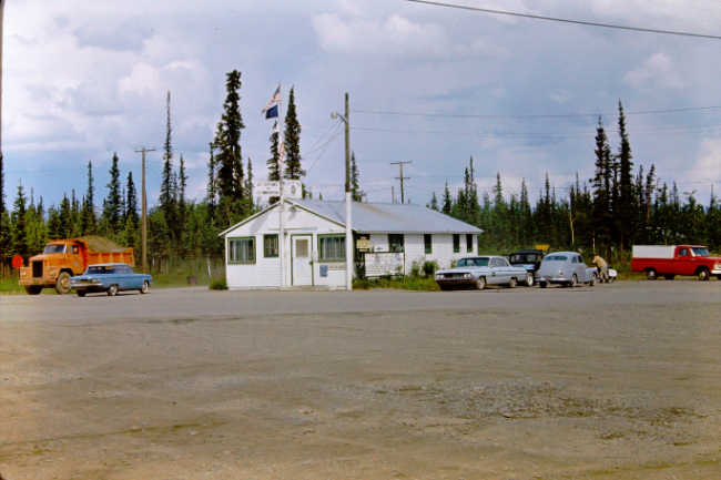
The U.S. Customs and Immigration post at Tok, Alaska, Mile 1314.
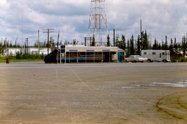
This appears to have been a diner at Tok.
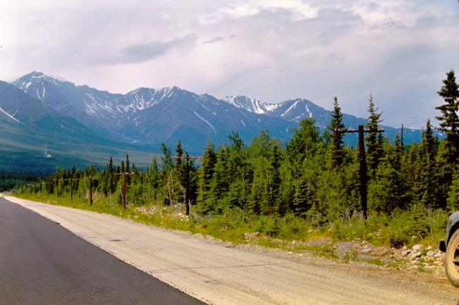
One lane of new pavement west of Tok.
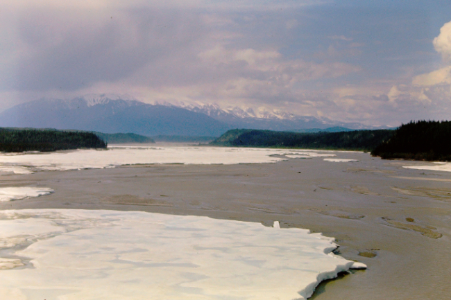
Breakup on the Robertson River, Mile 1347.

You certainly can't stop in the middle of the Robertson River Bridge for a look today!

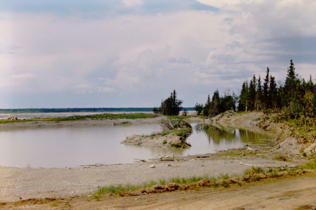
The Tanana River near Delta Junction.
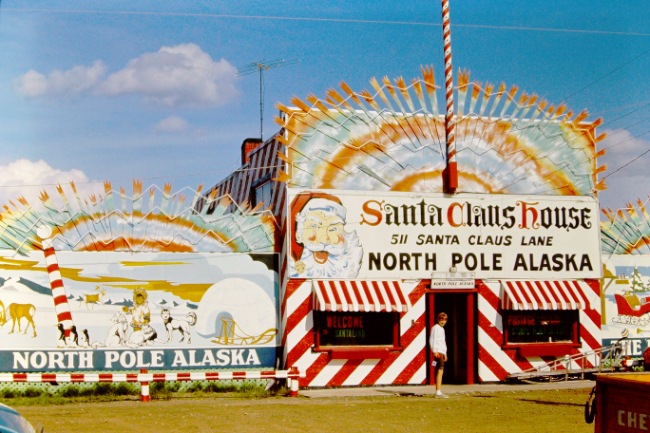
Santa Claus House at the community of North Pole just south of Fairbanks.
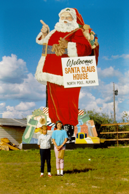
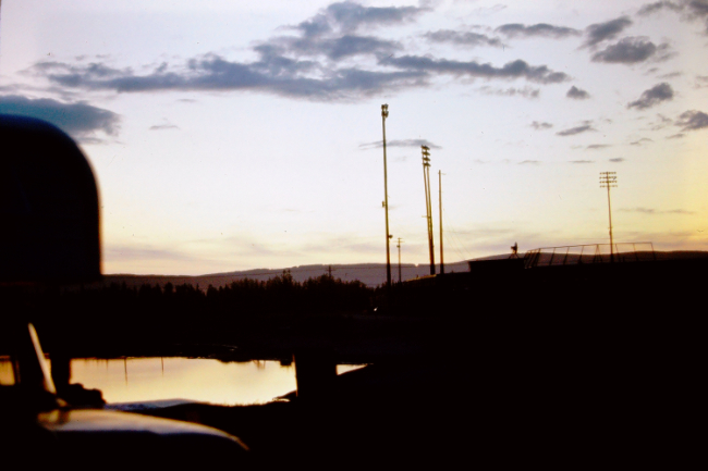
Experiencing the midnight sun at Fairbanks.
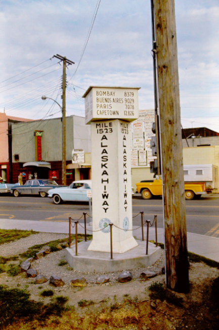
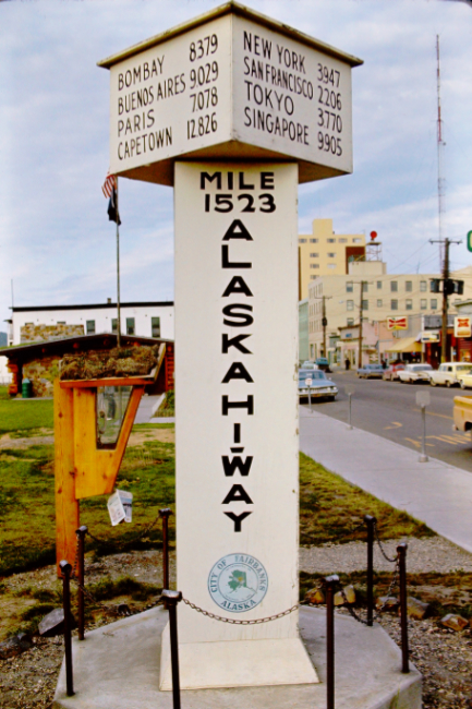
For many years, Fairbanks claimed to be at Mile 1523 of the Alaska Highway, the end of the highway. It is actually on the Richardson Highway, though, which existed long before the Alaska Highway.
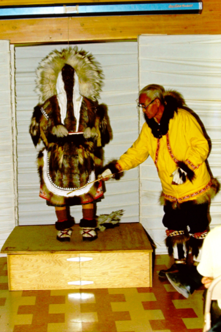
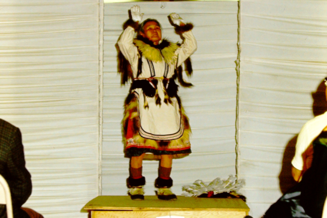
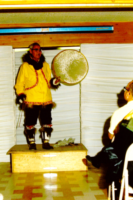
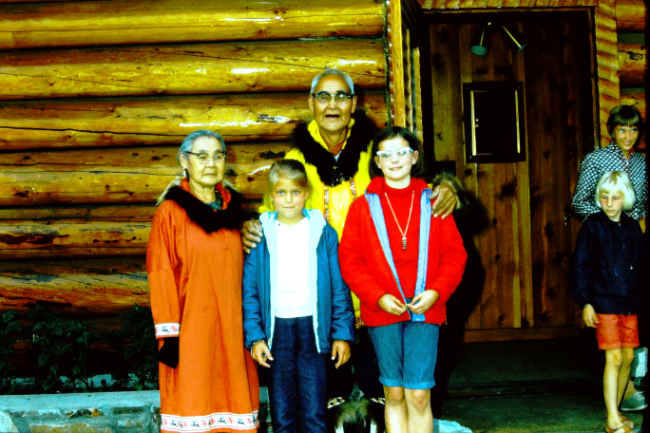
We don't yet know where in Fairbanks this presentation of Alaska Native clothing was done.
|

|
