
|





|
|
Washington to Dawson Creek, 1966
Skip Larsen 1966 Travelogue
Dateline: July 4, 2024.
The photos of British Columbia below were shot on Kodachrome slide film by Skip Larsen during a 6-week trip through the Yukon Territory and Alaska in 1966 - see the link above for more information about that trip and many more photos from it.
We have posted 13 of the 33 photos in this part of the collection.
Click on each image to greatly enlarge it.
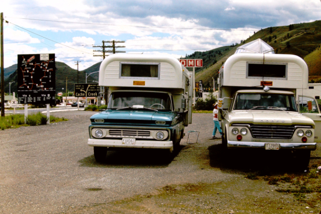
The photos start at Cache Creek. The trucks, a 1962 Chevy C20 and a 1963 or '64 Dodge D200 crew-cab, both with Chinook campers, are parked on the west side of Highway 97 facing north.
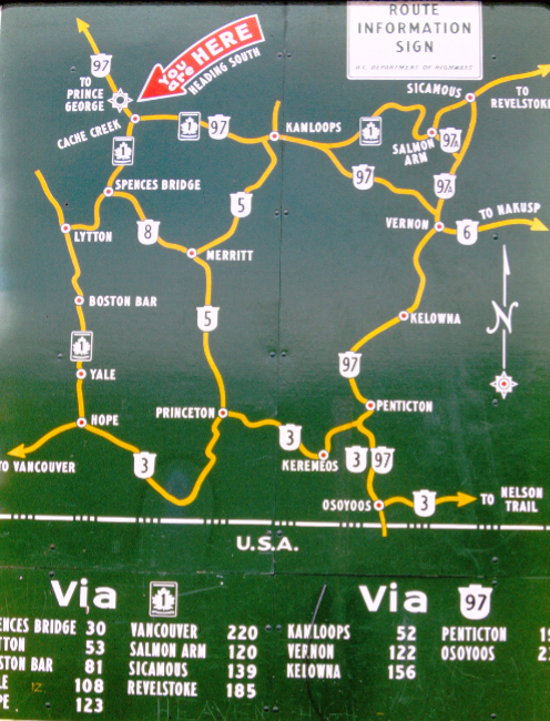
This is the map seen to the left of the trucks above. They had driven from Parkland, Washington, a suburb of Tacoma. After crossing into BC they drove up Highway 1 to reach Cache Creek, then straight ahead onto Highway 97 (Highway 1 turns to the east there).
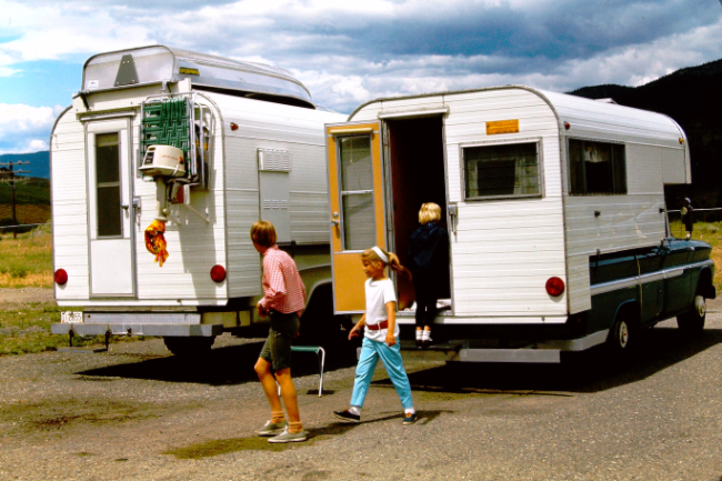
They were fairly well equipped for a lengthy adventure to Alaska and back.
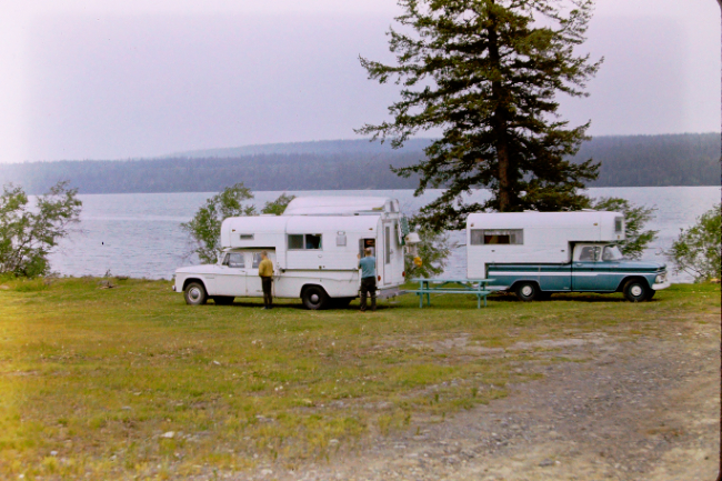
We haven't yet identified this lake, but it's between Cache Creek and Prince George, and looks like a comfortable spot to spend time.
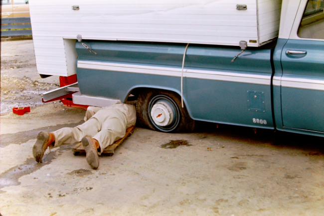
The bias ply tires used from the 1930s until about 1974 made changing a flat tire a mandatory skill on a trip such as this. The rim was also damaged this time, and it took several days to get a new rim.
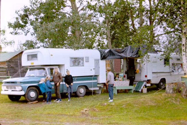
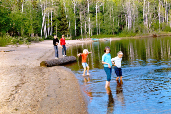

Filling the water tanks of the campers at McLeod Lake, using teakettles.
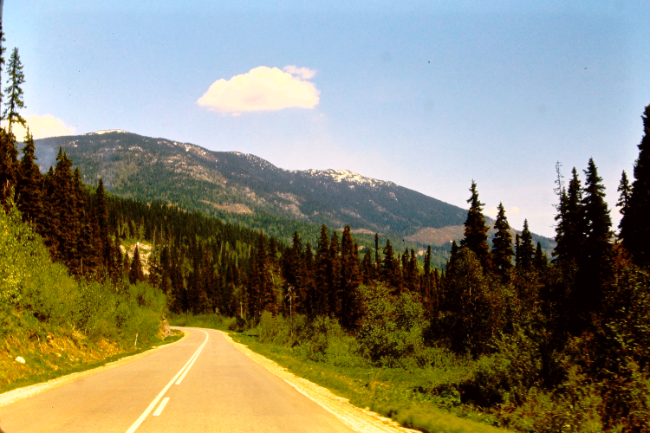
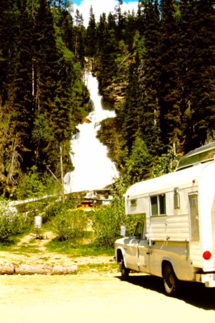
Bijoux Falls, located at the bottom of a steep climb up into Pine Pass.
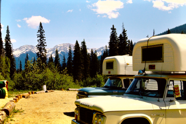
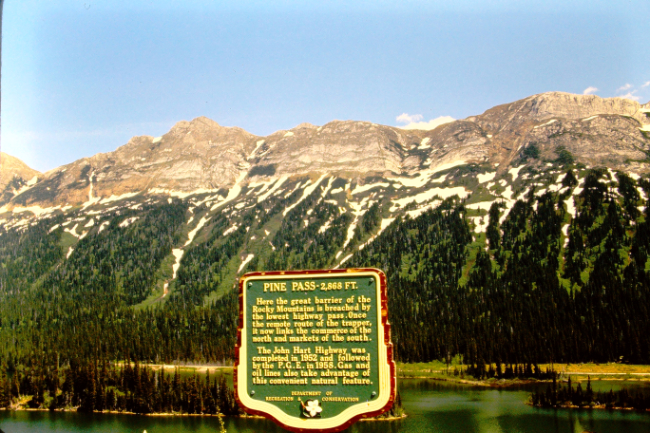
Pine Pass and Azouzetta Lake.
"PINE PASS - 2,868 FT.
Here the great barrier of the Rocky Mountains is breached by the lowest highway pass.
Once the remote route of the trapper, it now links the commerce of the north and markets of the south.
The John Hart Highway was completed in 1952 and followed by the P.G.E. in 1958.
Gas and oil lines also take advantage of this convenient natural feature."
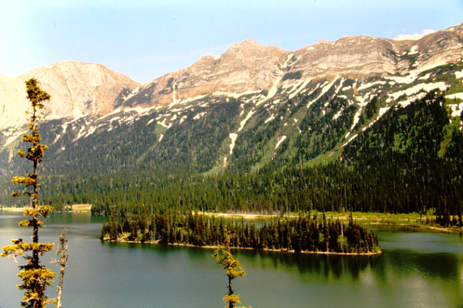
Azouzetta Lake.
Next stop, Dawson Creek, the start of the Alaska Highway (Mile 0).
|

|
