
|





|
|
The White Pass railway to Carcross and Skagway, 1966
Skip Larsen 1966 Travelogue
Dateline: October 3, 2024.
The photos of the White Pass & Yukon Route below were shot on Kodachrome slide film by Skip Larsen during a 6-week trip through the Yukon Territory and Alaska in 1966 - see the link above for more information about that trip and many more photos from it.
We have posted 47 of the 74 photos in this part of the collection.
Click on each image to greatly enlarge it.
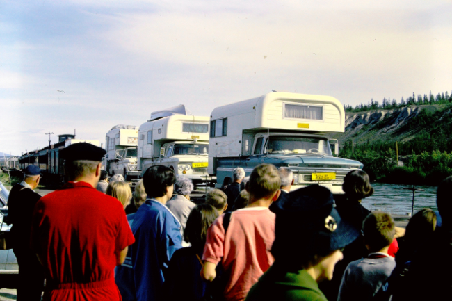
On about July 11th, the group was back in Whitehorse. They had a good look at the city on June 22-23, and may not have overnighted this time. They drove their camper trucks onto White Pass & Yukon Route railway flatcars for the 110-mile trip to Skagway, as there was no road yet from Carcross to Skagway. At Skagway they would board an Alaska ferry to continue south.
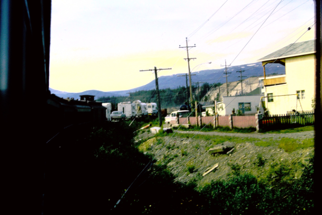
Going past homes at the southern edge of Whitehorse. The Yukon River is immediately to the left.
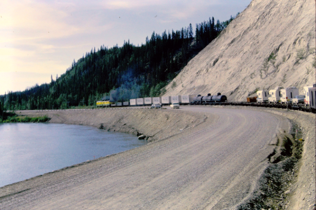
The "South Access" road, immediately to the south of the homes in the photo above. One of the two access roads from the Alaska Highway to downtown Whitehorse, it had just been built over the winter of 1962-1963.
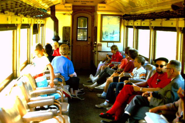
Passengers rode in comfortable cars.
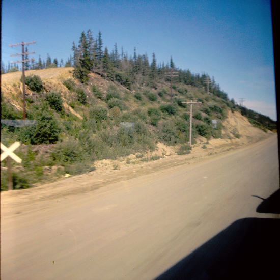
At McRae, Mile 104 (from Skagway), the railway crossed the Alaska Highway. It then paralleled the highway, generally within a few hundred yards, all the way to Carcross. This photo was one of a few shot with a camera using 127 film, not Skip's 35mm.
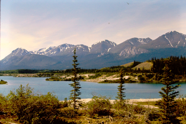
At about Mile 84 we were going by Lewis Lake, notable for its large expanses of white silt.
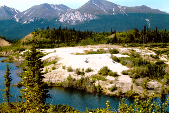
The ExploreNorth Blog explains what caused the exposed silt: "Lewis Lake was named for WP&YR railway engineer A. B. Lewis, not for a success but for a significant screw-up at the lake. On September 11, 1899, construction crews had reached the foot of the lake, and Lewis decided that if they drained the lake by 10 feet, a much easier grade could be located. On September 14th, crews began cutting a 4-foot-wide ditch acros the sandy 300-foot-long ridge that held the lake back. Opening that ditch to the lake at 2:00 that afternoon, it rapidly became apparent that things were not going to go as planned. The water from the lake quickly washed away the sand, opening the ditch to 100 feet wide and 10 feet deep. That evening, a huge collapse of the ridge occurred, and the ensuing torrent flooded the valley right down to Lake Bennett, 15 miles south. The lake level was lowered by 70 feet, not the planned 10 feet. To cross the canyons that now existed, the White Pass had to build two bridges, each one nearly 50 feet in height and 600 feet long. Getting supplies to build those bridges in before winter arrived was a huge challenge. Materials did arrive, though, crews worked through the winter building the bridges, and on May 10th, the rail line across them opened."
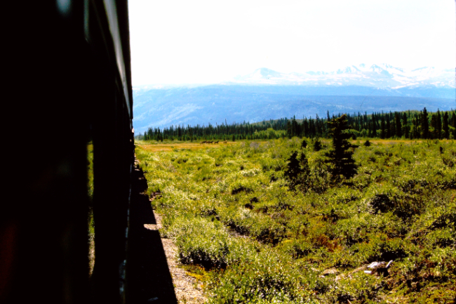
Just north of Carcross there were some horses along the tracks. That is Montana Mountain in the background, site of two active silver mines in 1966.
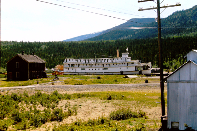
Downtown Carcross, with the railway workers' section house to the left, and the sternwheeler Tutshi. With the collapse of its tourist market in the late 1930s, the Tutshi was only used occasionally, and she had been on the ways at Carcross since 1955.
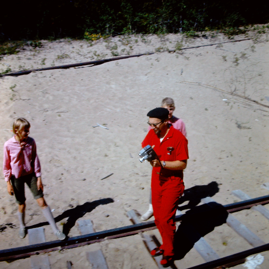
Malcolm got off the train at Carcross to do some filming.
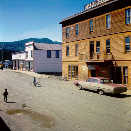
Matthew Watson Store and the Caribou Hotel - the railway depot is on the opposite side of the street.
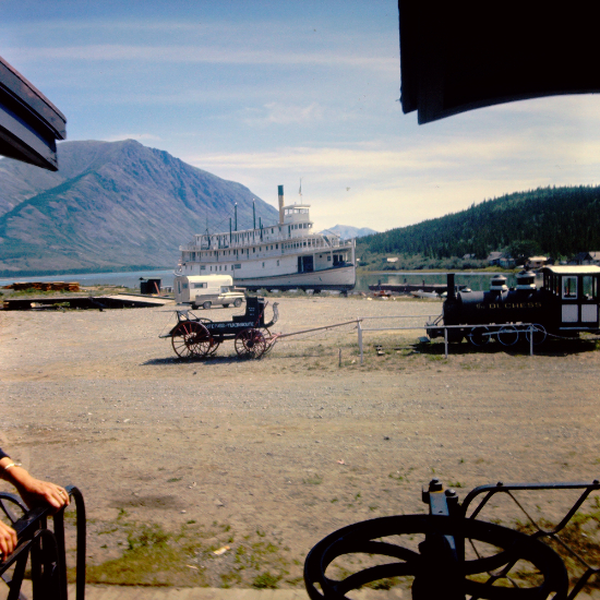
The Tutshi, a White Pass mail stage, and the locomotive "Duchess."
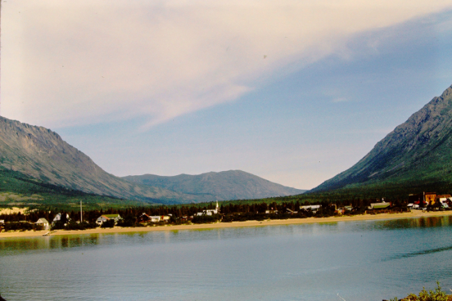
Leaving Carcross. The rail line goes down the eastern shore of spectacular Lake Bennett.
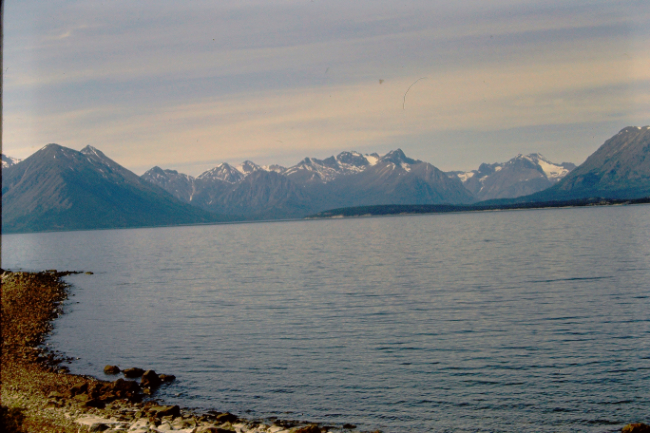
The entrance to Lake Bennett's West Arm is on the opposite side of the lake.

Looking back to the north, with the Wheaton River Valley in the centre.
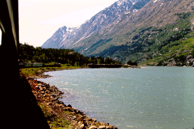
Three sidings along Lake Bennett allows one train to pull off and stop while another going in the opposite direction passes.

From the West Arm south, the lake gets narrower and the peaks higher.
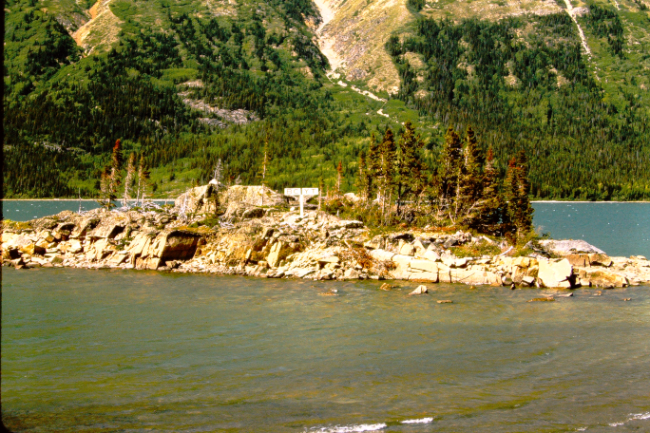
A sign on a small rocky island marked the BC-Yukon border.
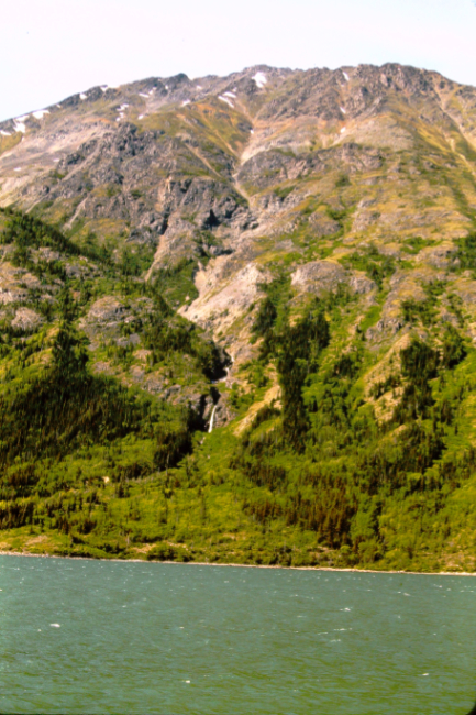
As the mountains got higher and closer, vertical photos became more common.
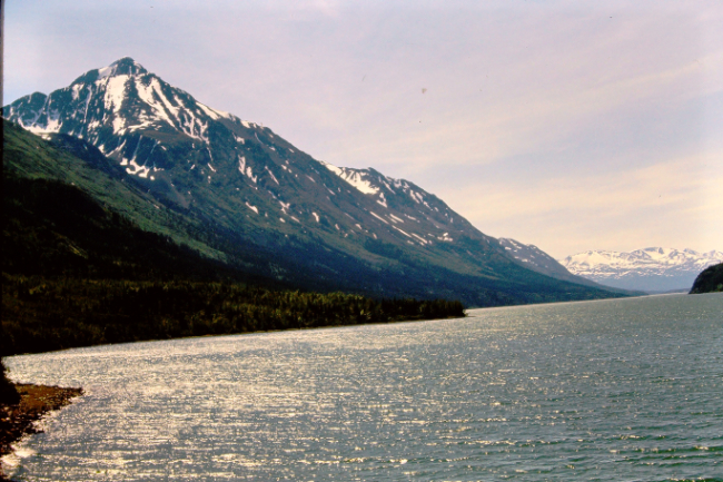
Soon the Coast Range, a wall of granite and ice that had to be crossed by people coming in to the Yukon gold fields seven decades earlier, came into clear view.

Approaching the gold rush ghost town of Bennett at Mile 40.6, with the railway station on the left and the only gold rush building left, the unfinished Anglican church, to the right.
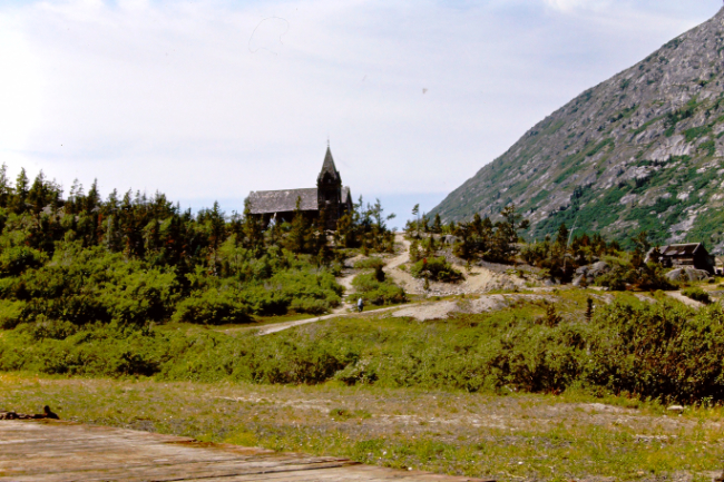
The church seen from the railway station. Bennett was famous for the hearty meals served to train passengers, and there's no indication in the photo collection that Skip went over to the townsite for a closer look.
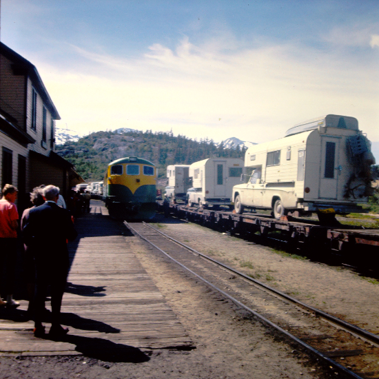
Northbound and southbound trains at the Bennett station.
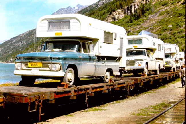
A look at some of the camper trucks being taken to Skagway.
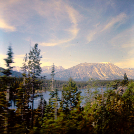
At Mile 36, Beaver Lake was passed.
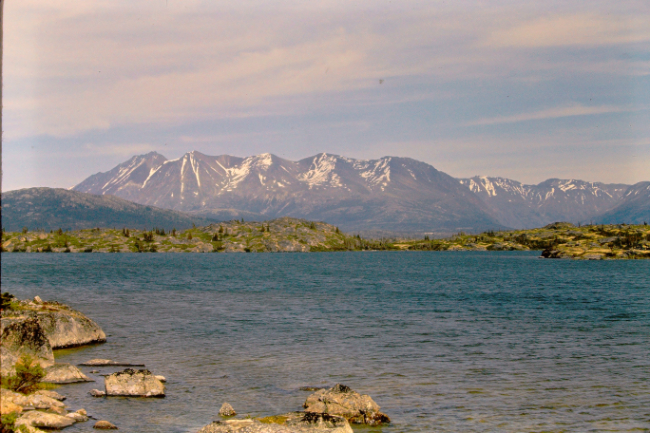
Passing Shallow Lake at about Mile 31.
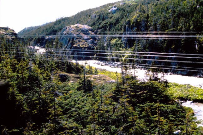
The railway crosses over the Thompson River on a small bridge at about Mile 26, then climbs steeply.
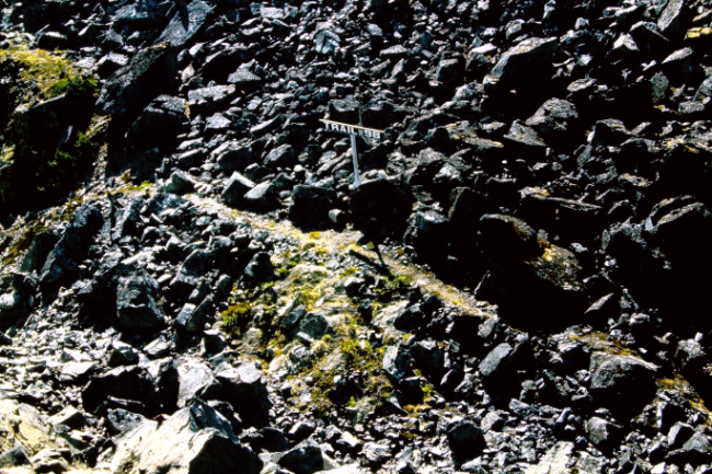
At Mile 19.3 is a sign marking the narrow "Trail of '98" - soon abandoned once the railway was completed.
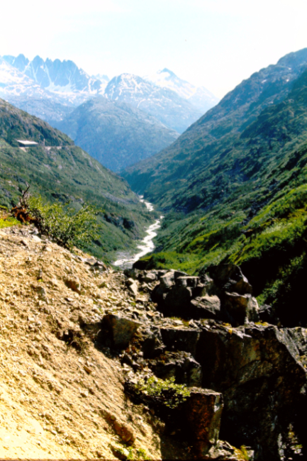
The view ahead from about Mile 19, with the Sawtooth Mountains. Note the large snowshed.
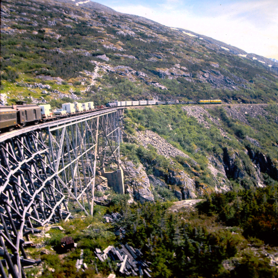
The cantilever bridge at Mile 18.6, by far the largest on the line.
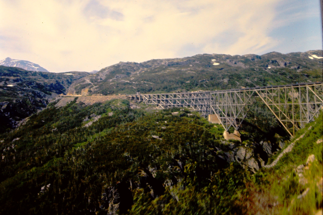
A look back at the cantilever bridge.

The front of the train is nearing Inspiration Point at Mile 16.9.
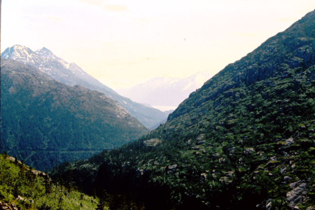
From Inspiration Point you can see Skagway and Taiya Inlet of Lynn Canal.
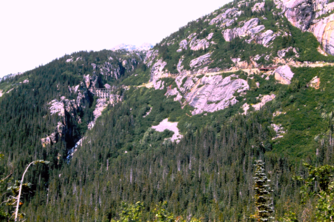
Looking back and up at "The Highline" section of the railway.
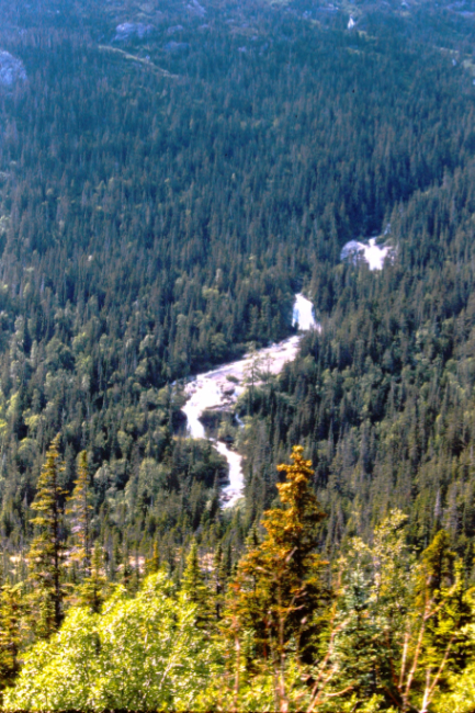
Bridal Veil Falls at Mile 11.5 flows from the Carmack Glacier.
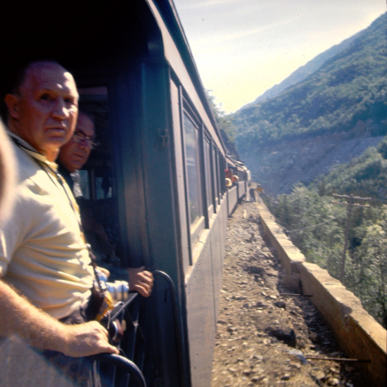
Getting close to Skagway.
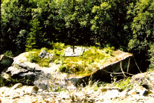
Black Cross Rock at Mile 10.4 is the final resting place of Al Jeneaux and Maurice Dunn and their mules, who were killed in August 1898 when a huge boulder toppled onto during construction of the railway.
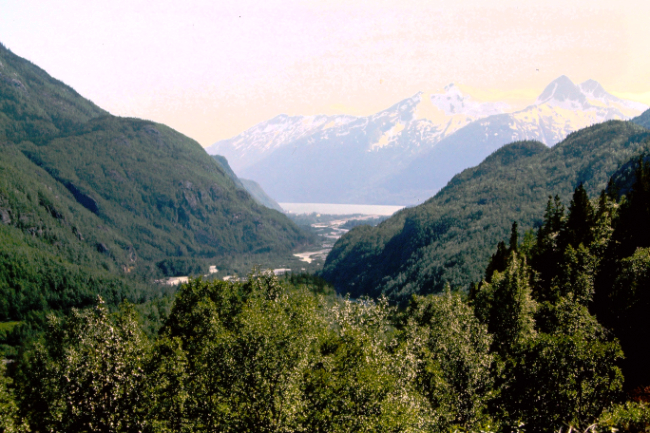
An enticing view of Skagway.
The train and ferry schedules were coordinated so a 08:30 departure from Whitehorse would allow some time to look around Skagway before boarding a ferry that evening.
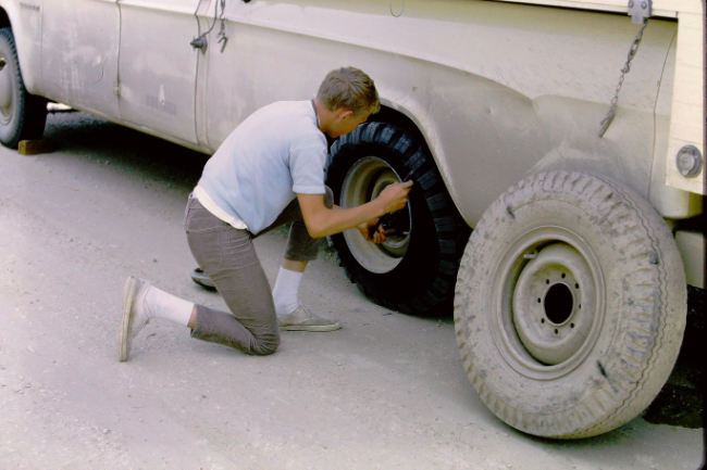
A tie-down on the train had cut the sidewall of one of Malcolm's tires, and that had to be fixed before continuing. The railway paid for a new tire.
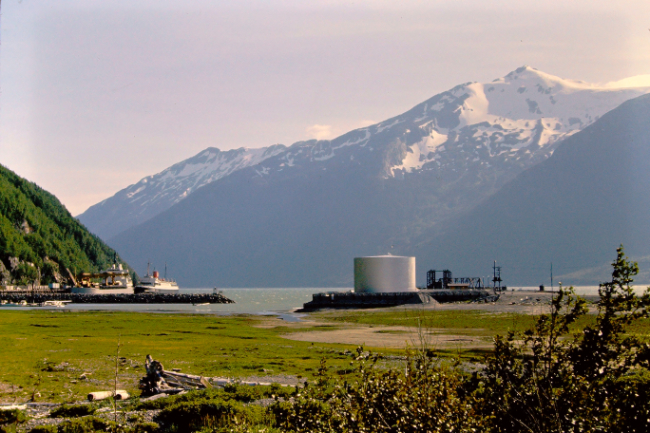
The Skagway waterfront. The first ship is probably the White Pass container-tanker ship Frank H. Brown, which had just been launched the previous year, and one of Canadian National's cruise/freight ships is behind her. The large tank contained fuel that was taken to the Yukon in the tank cars seen among others in the train.
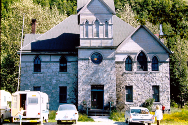
Skagway City Hall was built in 1899 as a private girls' school, McCabe College.
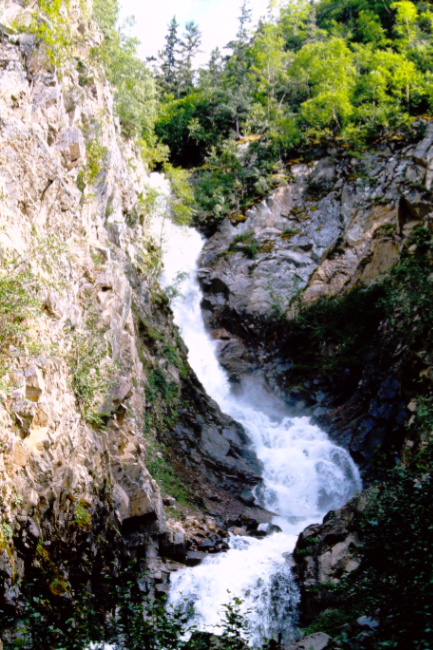
The group drove to the Gold Rush Cemetery and walked through it to Lower Reid Falls.
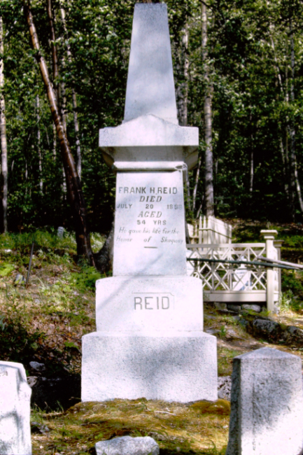
The monument for Frank Reid in the Gold Rush Cemetery. He "gave his life for the honor of Skagway" by killing crime boss "Soapy" Smith in 1898.
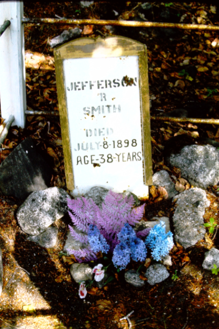
"Soapy" Smith's crude wooden headboard in the Gold Rush Cemetery. His headboards were stolen and replaced many times.
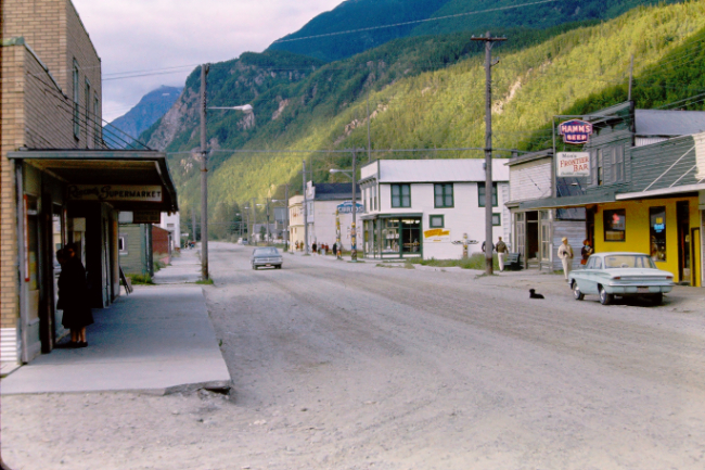
Looking north up Broadway.
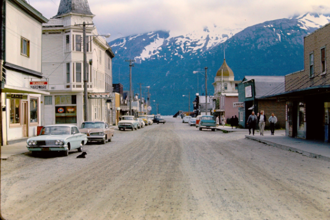
Looking south down Broadway.
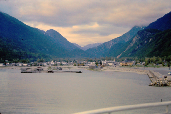
That evening, the group departed from Skagway on an Alaska State ferry. Their destination was Prince Rupert, but they had chosen to make stops at Juneau and Sitka on the way.
|

|
