Hiking through history on Montana Mountain, Yukon, 1991-1995
This is one of a series of hike reports written from 1991 to 1995 as I was researching the historic mines on Montana Mountain, Yukon, for my first book, "Fractured Veins & Broken Dreams." I carried a notebook, a tape recorder, and a camera on most of the hikes. Photos from each of the hikes have been added.
Dateline: December 31, 2023.
The text of the printed report is in italics.
O9:30 - 1745m. - Leave car below "Glacier" Lake.
YukonHiking.ca has a good description of route options, with many photos.
10:00 - 1940m. - Jean Mine; adit open for 5O feet, ice crystal, then a narrow passage over solid ice for unknown distance. Access minimum 40 meters.
- trail difficult to follow on complex of cat trails above Jean; generally, take the steepest trail, or the one that stays on the south side af the ridge.
10:30 - 2025m. - End of cat trail system; hiking trail heads up the ridge cap.
10:50 - 2120m. - trail levels somewhat on a rounded arrete.
11:10 - 2135m. - snow-field (first "water"). Back on trail 11:30; cut across the horseshoe curve plain (no trail). Plain is about 300 feet square, with frost boils fairly uniform acreass plain; 10 feet in diameter, about 10 inches high.
11:45 - 2150m. - ridges divide; right to Thistle & Aurora Mine, straight down side into Mountain Hero valley, steeply up arrete to Montana Peak.
12:06 - 2245m. - Summit. Vague trail heads toward Mountain Hero, then fades out. Lots of frost sorting and boils in area. Where boils bring up subsoil, there is a fair amount of plant life, particularly saxifrages.
1:05 - 1975m. - Scree slope into valley. Took a direct line from summit to mine. May be easier, particularly if snow around, to go to the left of the knob that has cliffs on right side - topo map shows a gentle gradient that way.
1825m. - Creek in bottom of valley. Valley is like a plush carpet, very deep vegetation mat, every shade of red, yellow, orange.
Mountain Hero Mine; 7 caribou, single or pairs, 2 mountain goats within 1 km.
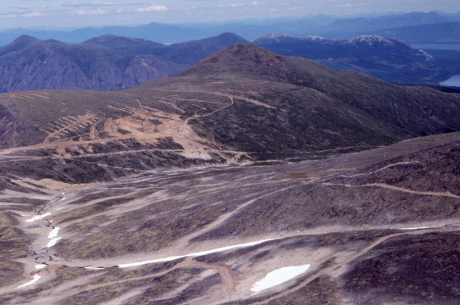
Going by the caption on the mount of this Kodachrome 64 slide, I had gone part way up the Peak trail on August 1st - far enough to get this excellent view of the roads, workings, and exploration trenches below.
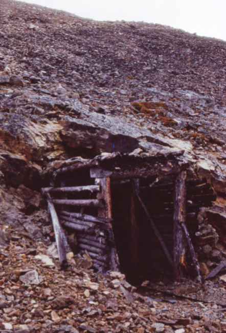
The Jean mine.
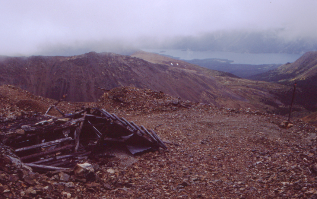
The Jean mine.
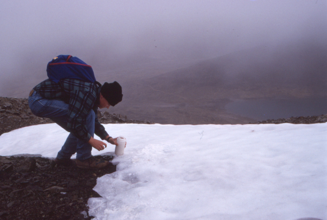
Simon fills his water bottle with snow on the way up.
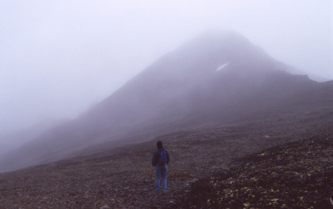
Apparently great views weren't very important to us!
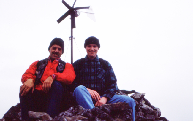
Murray Lundberg and Simon Hutton on the summit of Montana Mountain, at 2,205 meters elevation (7,234 feet).
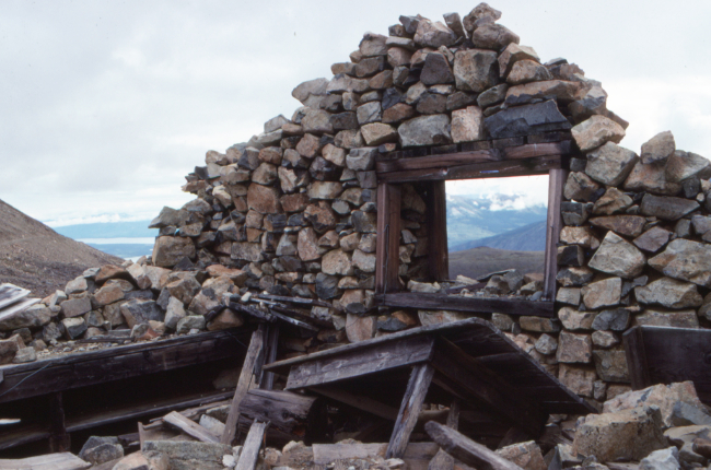
The stone house at the Mountain Hero Mine (the second stone house).
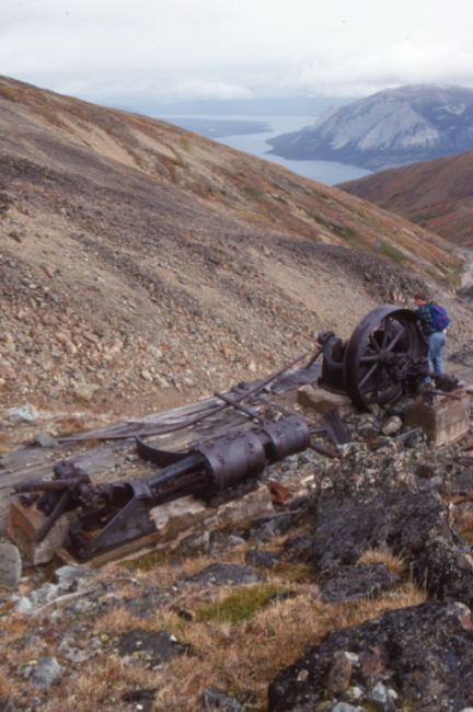
Air compressor at the Mountain Hero Mine.
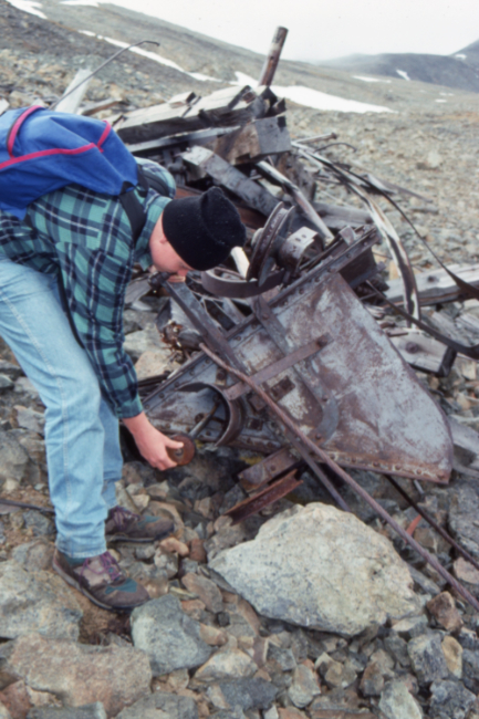
Aerial tramway wreckage at the Mountain Hero Mine.







