Hiking through history on Montana Mountain, Yukon, 1991-1995
This is one of a series of hike reports written from 1991 to 1995 as I was researching the historic mines on Montana Mountain, Yukon, for my first book, "Fractured Veins & Broken Dreams." I carried a notebook, a tape recorder, and a camera on most of the hikes. Photos from each of the hikes have been added.
Dateline: December 31, 2023.
The text of the printed report is in italics.
In April 1995 I had 8 spiral-bound copies of a 46,000-word manuscript of my book printed and sent them out for review. The hikes and research continued, though - this was the first hike after the manuscript went out.
Start of project to do a photo record of all buildings, workings, trails, etc on Montana Mountain. Using T-Max 100 B&W film, to be deposited at the Archives immediately (depending on Clara's response for some financial assistance in the form of printing).
08:20: left car at foot of road to 1970s Venus workings. Set altimeter at 695m.
08:40: (Photos #1, 2, 3) 860m, first Venus adit. Adit has standard ventilation doors, with a wire screen (padlocked) added in front. The bench where this adit is located has many trays of drill cores from 1979. I pried an end off one: tin tags "V-79-11 118.6 -# 140.6" and "Venus Vein". A small camp was here, with bathroom with shower and 2 toilets.
Great raspberry picking here in late summer.
Main workings at 805m. (Photos 4-10) Adit is doored and locked.
905m: (Photos 11 & 12) Ruins of shack roof, directly below the old bunkhouse, about 120 feet south of the tramway tower. The roof has cedar shakes, is about 25 feet long, 10 feet wide.
965m: Venus No.2 adit and tramway terminus.
Adit directly above the north end of the ore dump tracks at Venus No. 2.
1020m: (Photos #2 &3, roll 2) Another adit, household-type garbage around it. Tracks removed, but adit is accessible as far as I can see into it. Large set of hand-operated bellows (for ventilation?) just below adit.
1035m: Another adit, directly above the previous. Pack trail to it (2 feet wide) fairly obvious. Adit slid over. May be the original 1901 working. Took photos of cliff for comparison with early photos.
Descended back to Venus No.2. Pack trails followed to the south; quickly ran into a cat track that climbs from the drill-core site. Ends at 1010m, directly above the 1908 concentrator; there has been extensive open-cut testing, but no indication of underground workings. The track runs almost straight and consistent except for a slight descent to hit a winze at 910m. I think this may be the first winze I've seen; it followed a distinct vein directly into the mountain (strike NW), with a dip of about 45-50 degrees. There were apparently tracks running into it, but only twisted sections remain outside. Very old timbering around entrance - could well be one of the originals (Dail & Fleming? - probably on the Venus Extension claim). In this area is a lot of material that fits the description of the country rock that Tyrrell found Yukonite in.
From that level (910m), headed up and south to attempt to locate Red Deer mine.
Sections of trail hit, but lost again: 1075m, directly above northernmost part of drill-core bench.
1120m: (Photo #6) Dail Peak
1150m: 500 feet north of valley, pack trail leads down to a pair of open cuts, about 80 feet long, 10 feet apart. Following it up, it hits the valley at 1270m, climbs fairly steeply up the north side of the valley lip. Fairly easy to follow, although some game
trails leading off it are confusing, and willows and other trees have taken advantage of the relative levelness of the trail to put roots down.
2:15: 1200m, into trees, lots of fir, etc in this valley. Bear country!
Some retaining walls built.
1250m, first snow of the day, fill bottles. Lost trail here because of heavy trees.
Following very well-used game trail, came to what appears to be Red Deer open-cut, about 700 feet long and 60 feet deep (probably exaggerated by erosion). Old piece of plastic surveying tape driven into ground here. The top of the cut is at 1320m (4330 feet). Lots of flowers, including crocuses. Easy hike from here to road system that leads to Carcross. No sign at all of a Red Deer camp - did they climb up every day? (seems unlikely).
2:45: head down
3:30: back at drill-core site.
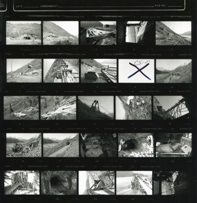
Contact sheet #1 of the photo inventory that was started on this hike, shot on Kodak T-Max 100, using a Nikon F-801s and lenses from 24mm to 300mm. Twelve rolls of film with a total of 327 images were donated to the Yukon Archives in September 1995, and contact sheets and 8x10 prints are available for viewing and reproduction, with no restrictions.

Nikon F-801s.
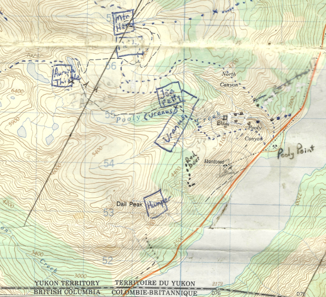
By now I had created a basic map of the mining claims and my routes, to carry with me.
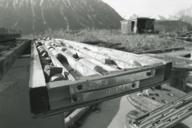
One of the drill core trays noted as being seen at 08:40.
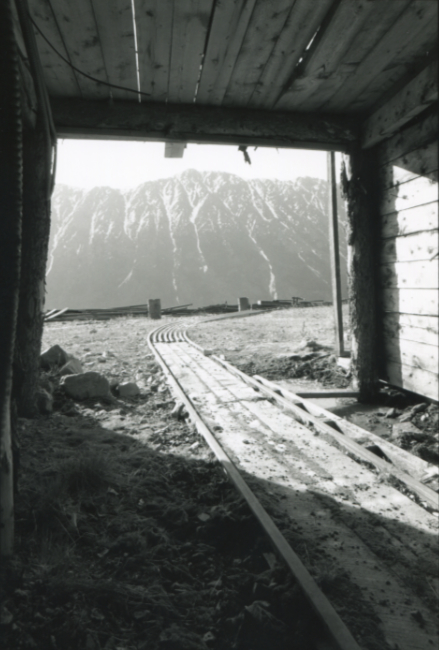
Looking out from the 860m adit.
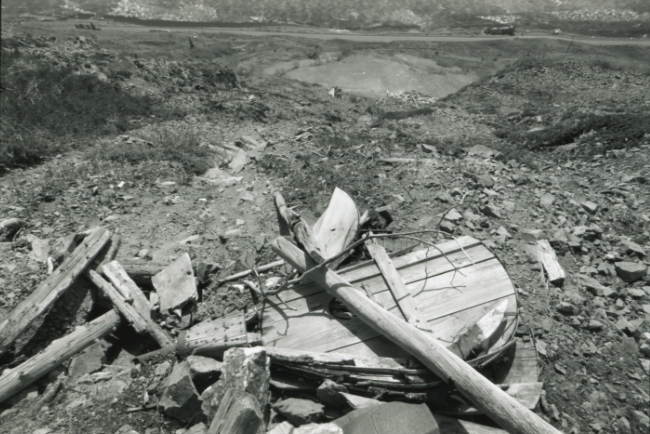
Large set of hand-operated bellows for ventilation just below the adit at 1020 m elevation.







